KWGIS ALIGNS WITH AA’S VISION TO REVOLUTIONISE LAND GOVERNANCE – SULYMAN
The Executive Chairman, Kwara State Geographic Information Service (KWGIS), ESV Abdulkareem Babatunde Sulyman, has disclosed that the agency aligns with the Governor AbdulRahman AbdlRazaq’s vision, to revolutionise land governance through transparent, automated, and citizen-centric services, that strengthen trust, security and economic growth.
The Chairman stated this, while featuring on a radio programme, tagged; Kwara Engaged, hosted by Hon. Umulkaer Onaolamipo Ahmed Alaiye, the Special Adviser to the Governor on Civic Engagement.
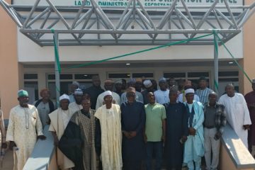
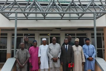
Sulyman revealed that the agency was created from the 2020 GIS law, aligning with the Lands Directorate, Surveyor-General, Physical Planning and Development Directorate as well as the Department of Urban & Regional Planning, all under the headship of the Executive Chairman KW-GIS, who reports directly to the Governor.
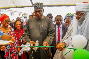
Speaking on the recently commissioned digital land system, ESV Sulyman explained that; “the major feature of this innovation and how it transforms the way land administration is handled in Kwara State, is the major transition from the usual analogue operations to digital operations. The transformation has helped in the digitisation of our land records, eliminated ghost allocations, increased transparency, streamlined land transactions and promoted investments.”
He therefore expressed confidence that the processing of the Certificate of Occupancy within 30 days and building permits within 15 days is possible, provided necessary documents are complete at the point of application.
“All thanks to the Executive Governor of Kwara State, Mallam AbdulRahman AbdulRazaq, who made it possible through the signing of the GIS law, to have a unified system combining Lands, Survey and Physical Planning and Development. I can assure you that your documents will be out faster than before.”
Speaking on provisions for residents of the state in both the Southern and Northern parts of the state, the Executive Chairman informed the public that, the agency has area offices across the 16 Local Government, disclosing that plans are in top gear to deploy aerial photography drones, to map out these areas to enable access to KWGIS services.
He further stated that the agency has dedicated customer service and call centres to cater for and support residents of the state who may not be tech-savvy to benefit from the different digital systems.
On how the agency is driving sustainable urban development through the Ilorin Urban Master Plan and the Smart City Initiatives, Sulyman explained that the Smart City project, spanning approximately 20,065 hectares of land in Ilorin East Local Government Area, is a flagship initiative under the Master Plan and the framework is to guide sustainable urban growth in Ilorin and its environs.
“As you are all aware, KWGIS happens to be the acquiring authority for the Smart City in the areas of land acquisition and verifications of claims by affected customary land owners and other holders within the region of interest. Also, KWGIS handles the compensation framework, disbursing over N569 million to affected landowners as of August 2025,” he said.
Rowland Olonishuwa, Press Secretary, KWGIS
08034779673
0 Comments